
Aerial Storytelling for Community and Commercial Insights
Turning Aerial Perspectives into Clear Communication
We deliver high-quality aerial imagery and visual products that help landowners, developers, and communities better understand the spaces they care about. Our focus is clear visual storytelling for awareness and communication, with the ability to integrate seamlessly alongside licensed surveyors and engineers when a project calls for regulated data or official measurements.
Contact Us
Bainbridge Island, Washington
brook@friendlycovestudios.com
(425) 677-5676
What We Deliver
Aerial Photography & Video
High-resolution visuals for projects, reports, sales and marketing.
Community Engagement Visuals
Share progress and change clearly with residents and stakeholders.
Site & Project Overviews
Contextual aerial imagery for landowners, developers, and investors.
Mapping* & Inspection
Geolocated imagery and orthographic visuals delivering clear, actionable insight for land management, inspections, maintenance, and project planning.
*Disclaimer
Our mapping services provide visual information to help you better understand your property or project. They are not a legal survey and should not be used for official records or legal purposes unless reviewed and approved by a licensed surveyor.
Explore our models
Community Engagement - 3D Model of EPA Superfund Site

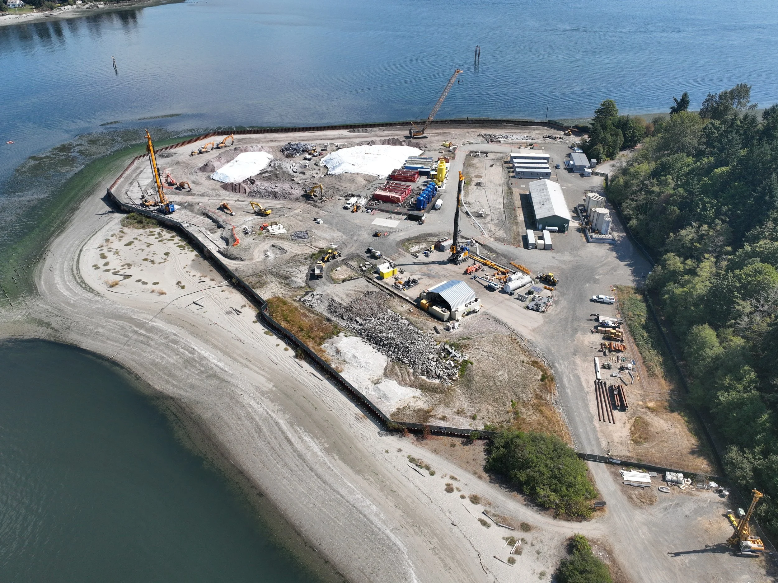
Site & Project Overview - Imagery and Orthographic visual of Construction Progression
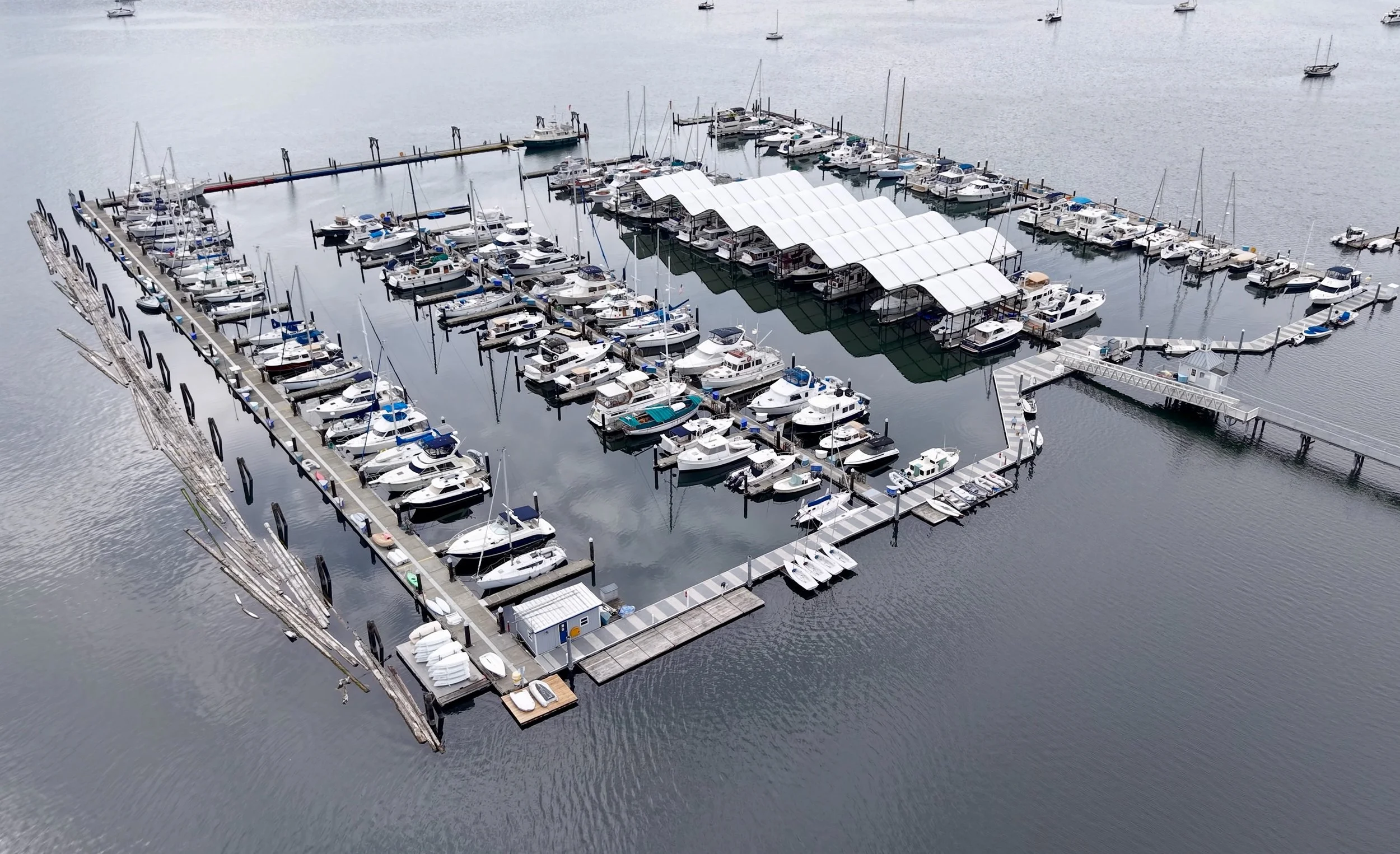
Yacht Club & Marina - Gaussian Splat model for Site Overview.

Ready to See the Bigger Picture?
From local community projects to large commercial developments, aerial storytelling helps everyone understand what’s happening on the ground. Let’s bring clarity to your next project.